The Geospatial-microplanning project aims to revolutionize microplanning processes by leveraging GIS technology. Users can seamlessly upload Excel, GeoJSON, and shapefile data, configuring hypotheses and rules to tailor microplans to specific needs.
Through intuitive visualization tools, users can analyze data on a map interface, identifying patterns and optimizing resource allocation. Once the microplan is finalized, it can be downloaded in the desired format.
Thorough manual testing ensures the platform's reliability and functionality, while user feedback drives continuous improvement. Geospatial-microplanning empowers users to efficiently conduct microplanning, ultimately enhancing the effectiveness of health campaigns and similar initiatives.
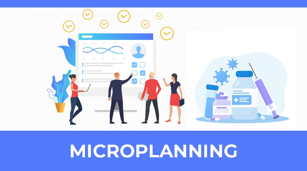
Manual microplanning in healthcare management (HCM) presents challenges such as operational heaviness from manual Excel-based processes, scripting errors, data ingestion issues, and corrupt data entry risks. Transitioning to GIS-based microplanning offers solutions, providing precise population data, addressing geographic inaccessibility, optimizing resource allocation, and reducing time and errors. This transformation promises improved accuracy, efficiency, and quality care delivery. Additionally, GIS technology enables:
The project utilizes React as the frontend with backend in Java, integrated with Leaflet for map visualization. Automated development pipelines streamline the deployment process and ensure efficient development workflows.
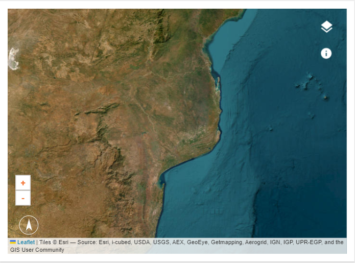
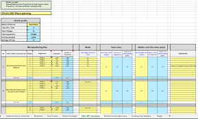
Geospatial-microplanning aims to revolutionize microplanning processes by leveraging GIS technology. Users can upload necessary Excel, GeoJSON, and shapefile data, configure hypotheses and rules, visualize everything on a map, analyze the data, and finalize microplanning before downloading it.
Collaboratively administrate empowered markets via plug-and-play networks dynamically procrastinate
Contact With Us