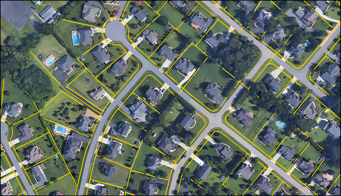
GIS processing in the real estate industry enables precise mapping of property boundaries, zoning regulations, and demographic data, facilitating informed decision-making for site selection, market analysis, and urban planning.
With dynamic tiling, it optimizes the processing of large datasets, ensuring seamless access to information regardless of scale. Cloud-optimized GeoTIFF (COG) processing enhances scalability and accessibility, allowing users to access and manipulate geospatial data with ease.
By leveraging COG, users can efficiently store, manage, and distribute geospatial data in cloud environments, facilitating collaborative and scalable workflows. This innovative approach not only streamlines analysis but also promotes interoperability and accessibility across diverse platforms and applications.
Efficiently managing large volumes of geospatial data, optimizing performance, and managing cloud infrastructure costs can be challenging. Cloud resources can be expensive if not managed efficiently or if workloads fluctuate. Interoperability with existing GIS systems and workflows and compatibility with various data formats can also pose challenges. Balancing these factors can be a delicate balance. Few are the ways to tackle all these challanges:
The project utilizes React as the frontend with backend in Java, integrated with Leaflet for map visualization. Automated development pipelines streamline the deployment process and ensure efficient development workflows.

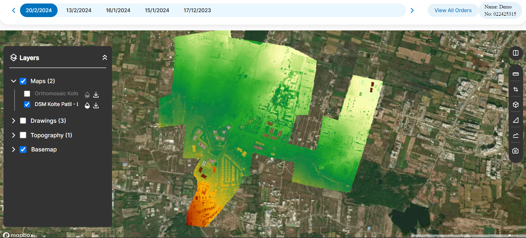
This project aims to harness Geographic Information Systems (GIS) for spatial analysis, focusing on dynamic tiling and cloud-optimized GeoTIFF (COG) processing. It enables accurate volume computation, aerial distance calculation, and surface elevation measurement based on land elevation data. By leveraging COG processing and dynamic tiling, the platform offers scalability, accessibility, and efficiency in managing and analyzing geospatial data, promoting interoperability and facilitating collaborative workflows.
Collaboratively administrate empowered markets via plug-and-play networks dynamically procrastinate
Contact With Us